
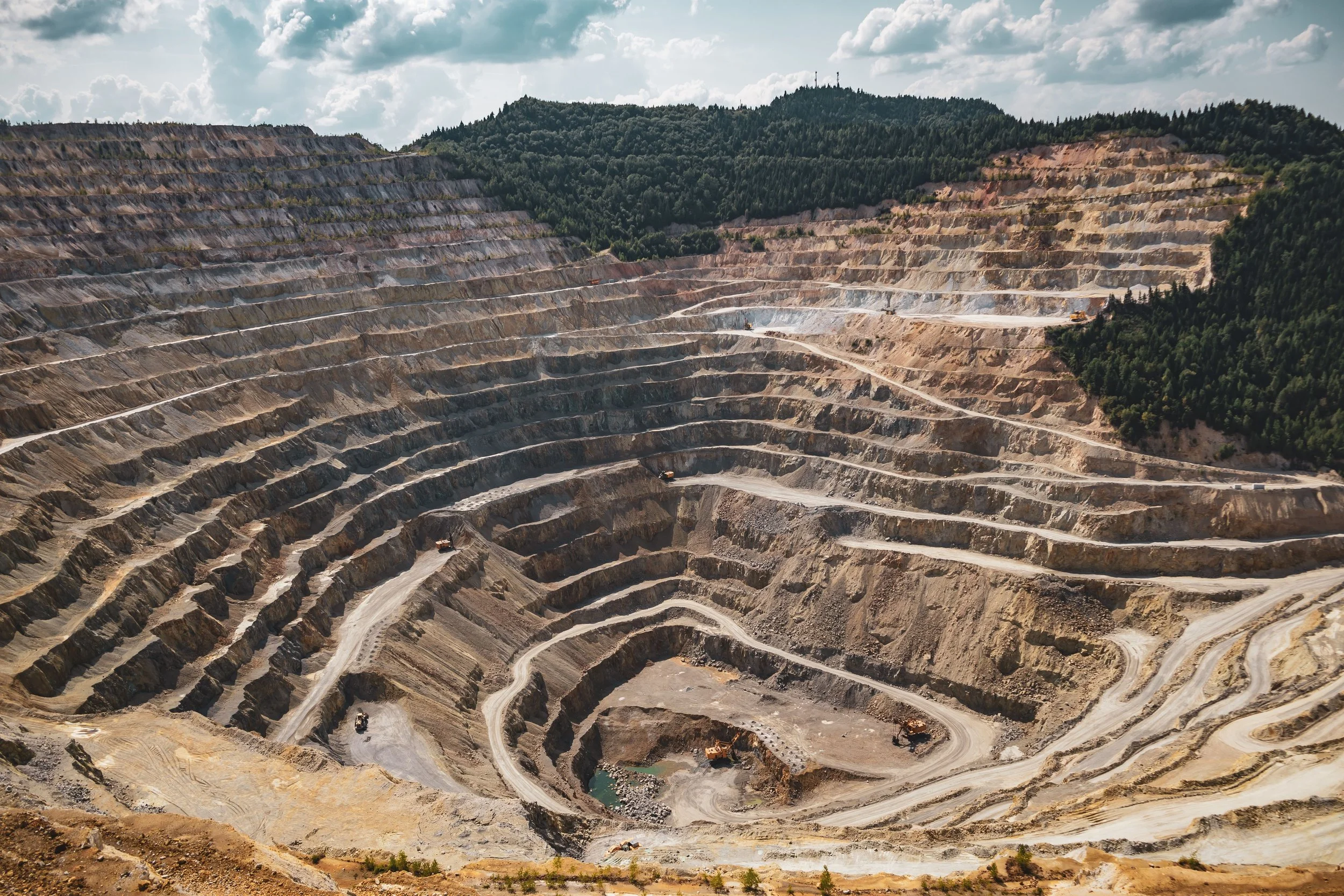
INTELLIGENCE FOR EARLY SLOPE STABILITY ASSESSMENT
Separate relevant deformation from the immense amount of movement across a mine, then direct field review where it matters.
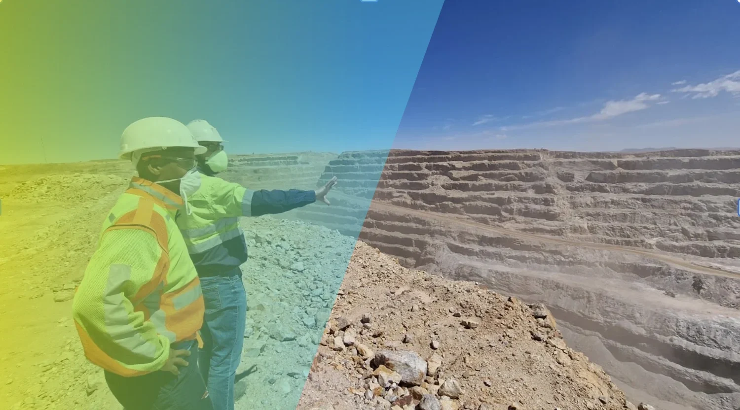
Ein Ampelsystem zur Überwachung der Hangstabilität auf dem gesamten Gelände
Bei der Stabilitätsbewertung von Gruben, Halden, Aufschüttungen und Deponien sowie von Hochhaus- oder Grubenböschungen berücksichtigen wir geologische Gegebenheiten, Grundwasserspiegel, Bodenverhältnisse und andere geotechnische Einflüsse.
Diese Faktoren wirken zusammen und beeinflussen sowohl die InSAR-Messungen als auch das Risiko. Neue Erkenntnisse. Wir bauen eine Datenbank mit relevanten Verformungsmustern auf.
Für viele Kunden setzen wir die Verformungsmuster in verschiedenen Bereichen des Bergwerks in ein 3- oder 4-stufiges „Ampel“-Warnsystem um.
Für die meisten davon zeigen wir hochauflösende Karten aus zwei verschiedenen Blickrichtungen, die unterschiedliche Bereiche des Bergwerks darstellen. Diese Konturkarten unterscheiden sich von unseren Zeitreihenprodukten.
Wenden Sie sich an unsere Spezialisten, um mehr über die jeweiligen Vorteile beider Produkte zu erfahren und zu erfahren, wie sie Ihnen dabei helfen können, verschiedene Stabilitätsprobleme aufzudecken.
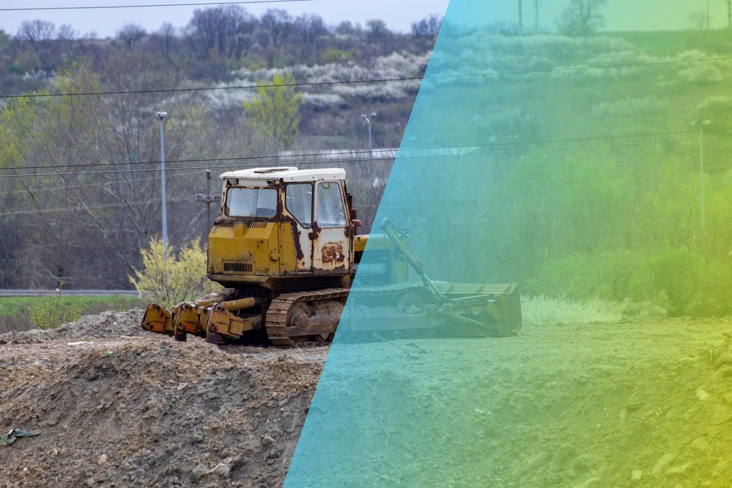
At a glance
SkyGeo helps mining geotechnical engineers separate deformation that may be relevant to a mechanism from widespread movement, noise and processing artifacts. The useful output is not the largest possible point count; it is a validated time-series pattern interpreted with geology, mine activity, geometry and existing monitoring to focus specialist review.
A large mine can produce millions of deformation measurements. It can also produce seasonal signals, surface changes, processing artifacts and movement that has no bearing on the mechanism under review. SkyGeo works with geotechnical engineers to refine the processing, interrogate the time series and relate the observed pattern to geology, geometry, mine activity and existing monitoring.
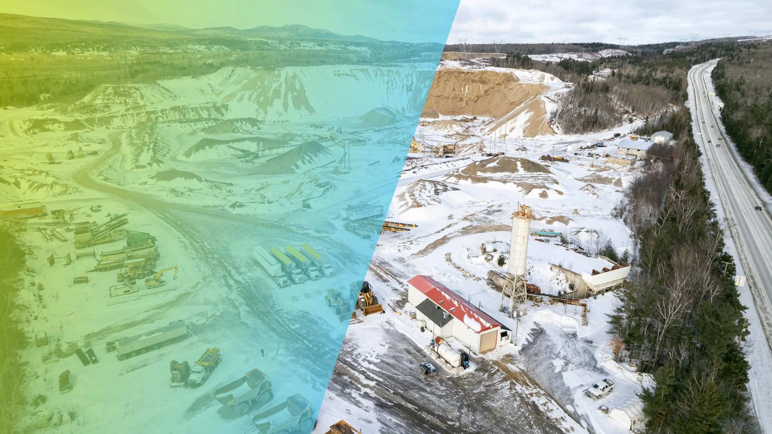
Everything moving is not everything important
A velocity map encourages fast conclusions. Geotechnical review needs the footprint, direction, time history, uncertainty and relationship to known structures or operational changes. We help remove irrelevant noise and organize the evidence around the failure modes or behaviors the site team is considering.

Use the mine's knowledge
No remote analyst knows the site as well as the engineers working it. Bench development, blasting, dumping, rainfall, drainage, material properties and instrumentation can all affect interpretation. SkyGeo provides InSAR expertise; the mine provides the mechanism and operational context. The analysis improves through that exchange.
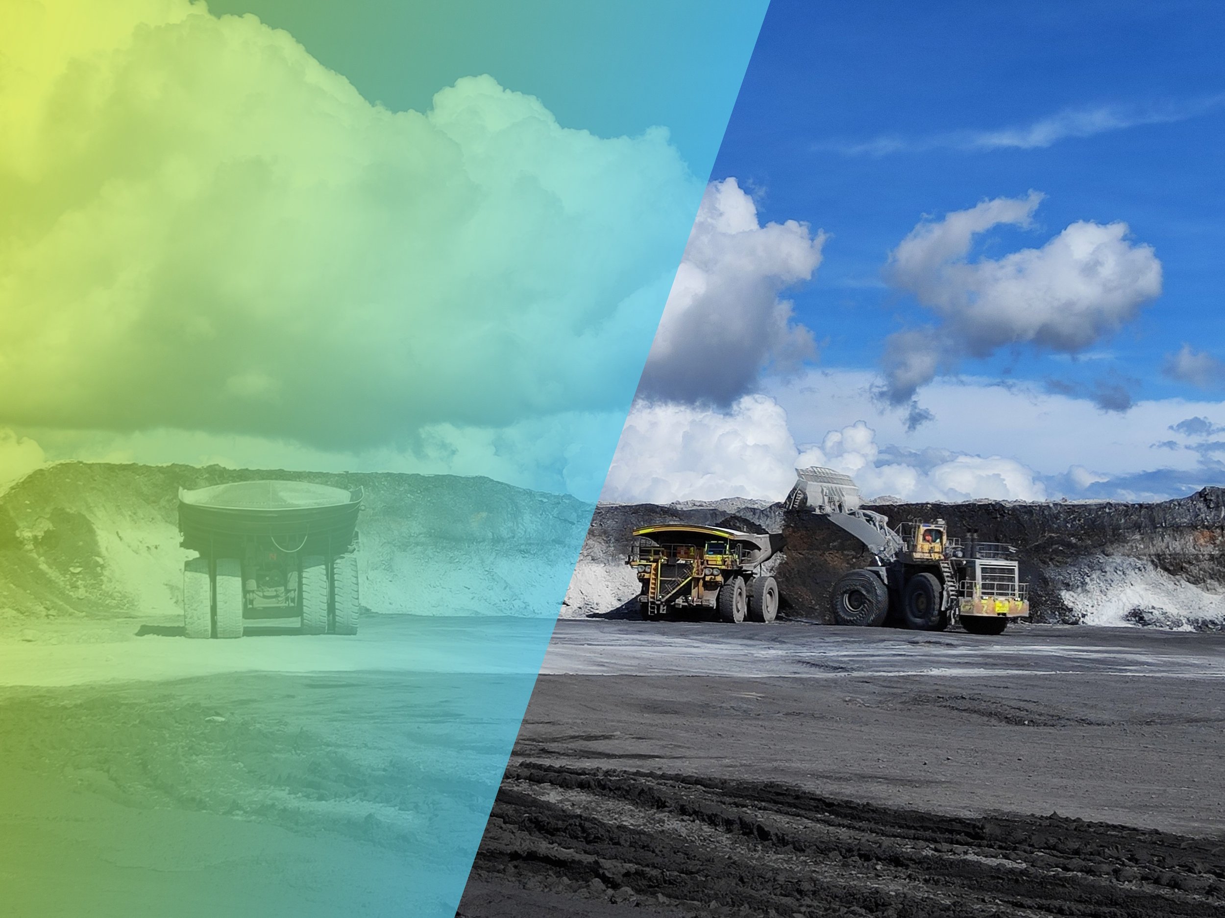
Waste dumps
Waste dumps grow, load and change shape continuously, so some movement is expected. InSAR helps separate settlement of fresh material from deformation that may point to a developing mechanism, such as toe bulging, crest cracking or creep on a weak foundation. Tracking each lift over time shows where field inspection, radar review or additional instrumentation should be concentrated as dumping advances.
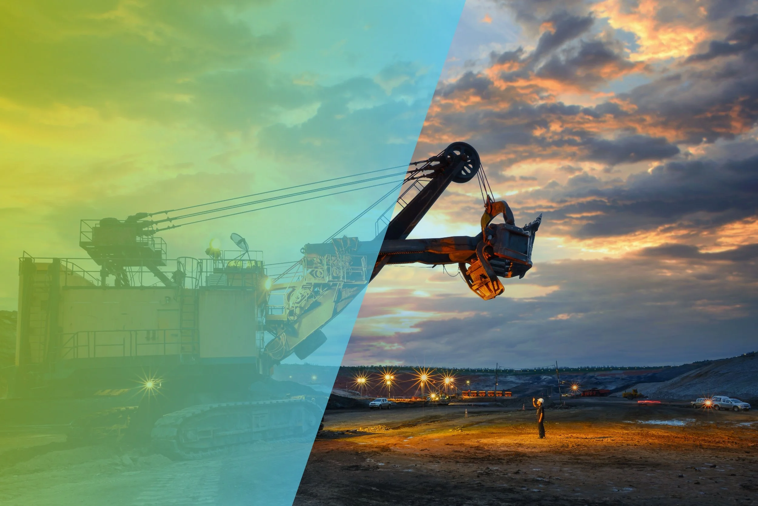
Prioritize confirmation
InSAR is strongest as a broad, repeatable evidence layer. It can help identify where field inspection, radar review, prism analysis, GNSS or additional instrumentation should be concentrated. The objective is a better allocation of geotechnical attention, not a claim that satellite monitoring replaces local systems.
Typical use cases
-
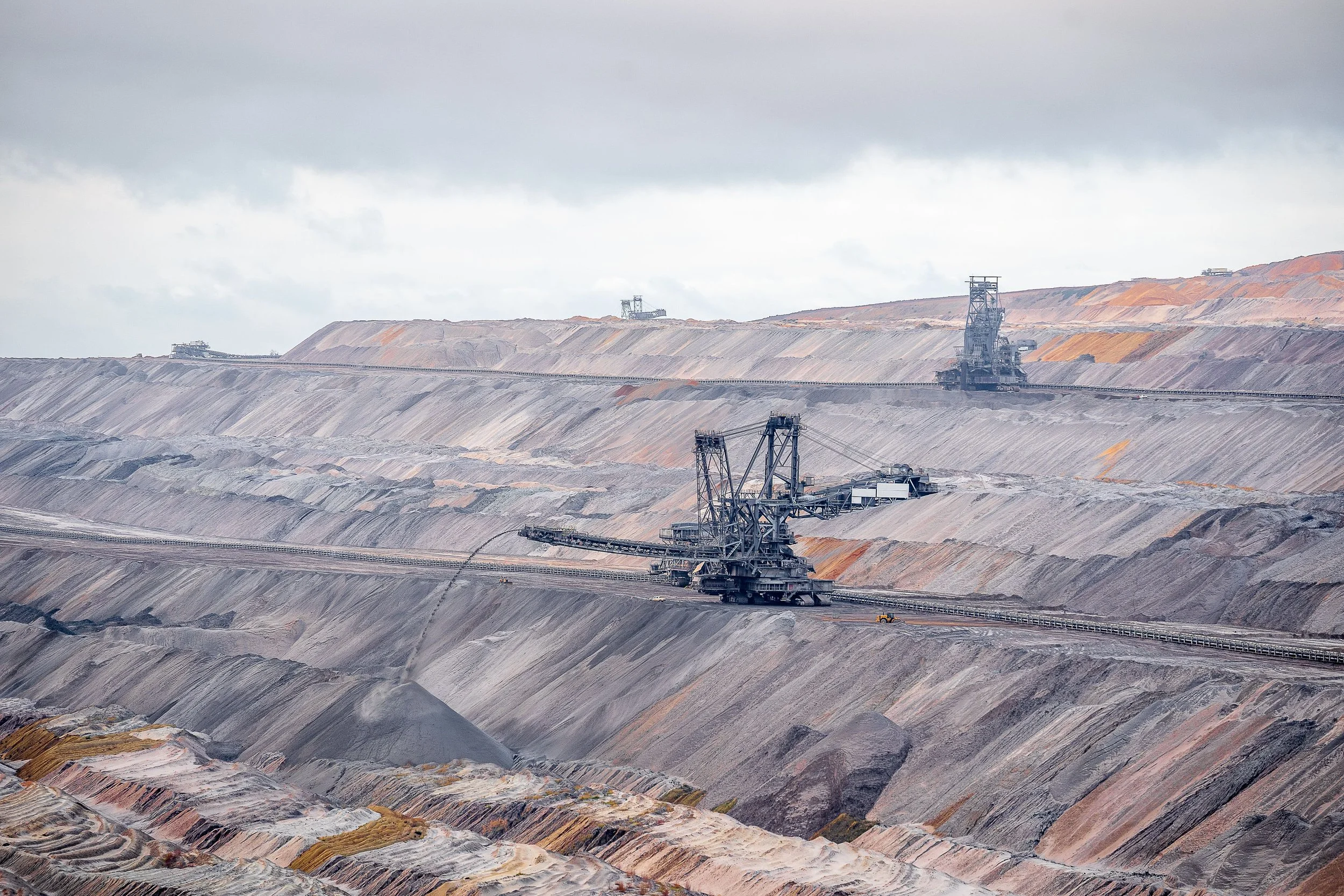
Pit slope review
Examine whether a spatially coherent pattern is developing beyond, between or before existing monitoring points.
-
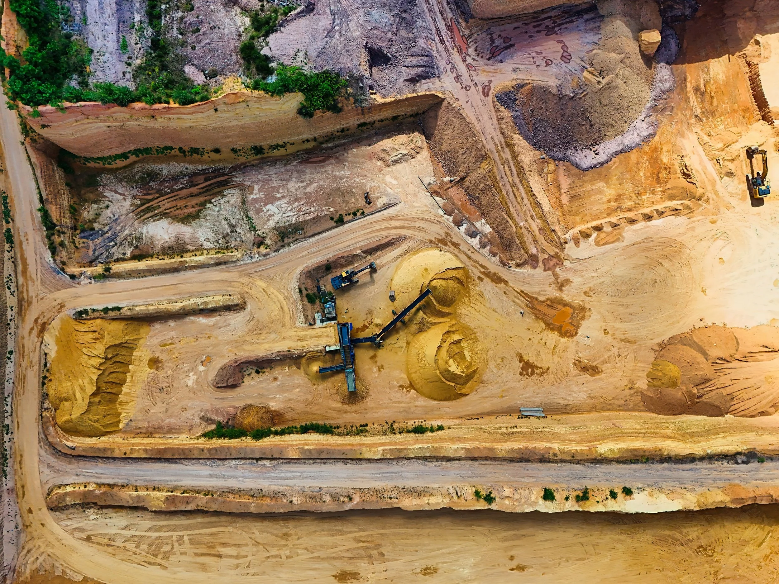
Waste dump behavior
Track broad and differential movement across dumps, foundations and adjacent terrain.
-

Site-wide triage
Compare change across multiple geotechnical domains and select the areas requiring detailed specialist review.
Unsere Kunden aus dem Bergbau


















Häufig gestellte Fragen
-
Look for a spatially coherent footprint and a time history that persists or changes in a way that can be compared with a plausible mechanism. Then test the pattern against geology, geometry, operations and data quality before committing field resources.
-
Align the timing and location of site activity with changes in the deformation record and consider whether the relationship is consistent across the affected area. Correlation helps frame a mechanism to test; it does not establish causation on its own.
-
Higher point density can also introduce more irrelevant movement or processing noise. The useful dataset is the one that preserves enough quality and spatial context to distinguish the pattern associated with the mechanism under review, rather than maximising the number of coloured points.
Discuss geotechnical monitoring
info@skygeo.com